Developed by the Mental Health and Climate Change Alliance, the BC Climate Vulnerability Map enables the user to assess the susceptibility or vulnerability of their BC community to the impacts of climate change. Access the BC Climate Vulnerability Map here.
Climate change vulnerability refers to the degree to which a system, such as a community or an ecosystem, is susceptible to, and unable to cope with, the adverse effects of climate change. It consists of three main components: exposure, sensitivity, and adaptive capacity.
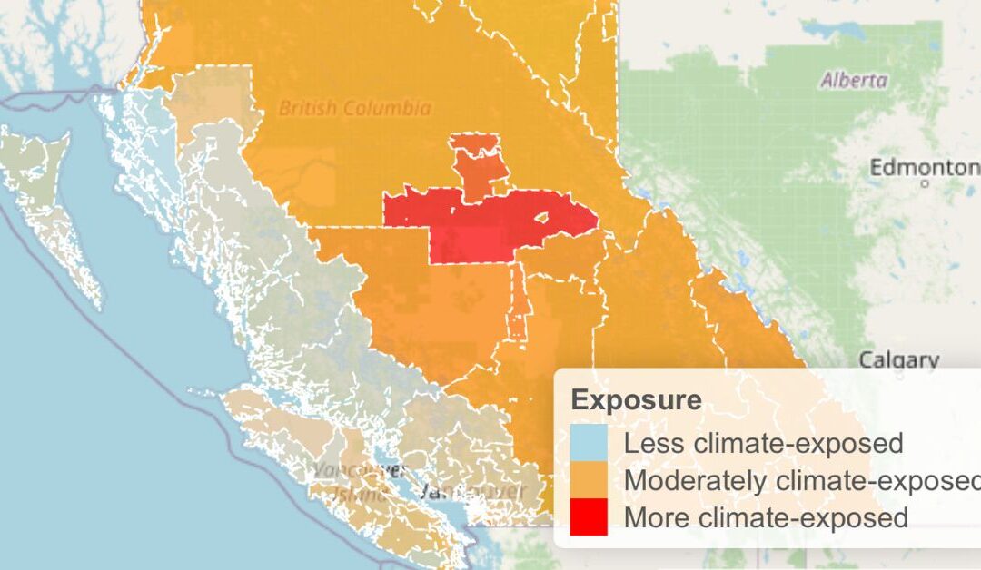
• Exposure is the extent to which the system is subject to climate-related hazards like floods or heatwaves.
• Sensitivity is the degree to which the system is affected by these hazards, which can depend on population characteristics such as the health and age of the community.
• Adaptive capacity is the ability of the system to adjust and respond to these climate challenges, influenced by the availability of resources to mitigate harm from climate threats.
The Map reflects the development of a Climate Vulnerability Index (CVI) that presents a combination of all three factors. Each factor can also be accessed independently by the user. The index for a particular community can be accessed via the first three letters/number of the community’s postal code.
It highlights greater climate vulnerability in Northern and Interior BC compared to the Lower Mainland and Island regions, attributed to varied exposure and adaptive capacity. Furthermore, the study as a whole investigates the connection between climate vulnerability scores and subjective perceptions of climate risks, uncovering complex patterns of climate anxiety and risk perception across communities.
For the more detailed report about this ground breaking research read Developing and Validating a Climate Vulnerability Index for British Columbia.
See what else we have in GTEC’s Communication & Media (formally GTEC Blog)! Read articles on climate change, sustainability, education, and more!